Vegetation & ecosystem types
The Naivasha Basin lies in a raised portion of the eastern branch of the Great Rift Valley surrounded by high mountain ranges of geologically recent volcanic origin characterised by sharp topography and great altitude. The landscape has steep slopes, fertile soils and a great variety of gological features that relate to the diversity of landforms as well as of forms of life. Steep edges of the Rift delimit the basin east- and westwards of the metamorphic Basement complex lying at its bottom; an active volcano (the Longonot) towers over its southern portion, the last eruption dating only 200 years. The Bahati Highlands form the northern boundary.
Temperatures are determined by the season, topography and altitude, ranging from freezing point on mountain peaks to more than 30°C when approaching lake level lowlands. Rainfall distribution is spatially variable due to the rugged topography of the basin; its frequency is centered around two seasons. Rain intensity is governed by the evaporation of the Indian Ocean and by the strength of the monsoon winds, which draw moisture over the continent.
The higher portion of the basin hosts typical Afromontane flora, which constitutes a relatively continuous uniform belt (albeit changing in composition along the altitudinal gradient) between 2,200 and 3,600 m a.s.l. The portion situated above the 3,600 m tree line is restricted to a moorland plateau interspersed with bogs, grasslands and bare rocks, but without glaciers (used to be present up to recently on the nearby Mount Kenya). Economically valuable evergreen endemic hardwood conifers dominate the Afromontane belt. 'Podocarpus'' is the common climax tree in the cloud forest, while drier forests tend to be dominated by Juniperus spp. In places, a bamboo zone is also found between 2,500 and 3,000 meters, above which there is sometimes a Hagenia rosewood zone stretching up to the 3,600 m boundary.

In many parts of Kenya, this higher floristic region has been cleared for coffee (lower altitudes) and tea (higher altitudes) plantations. This has not occurred extensively in the Naivasha Basin where the highlands are mostly very steep and/or protected by national parks and reserves and therefore unsuitable for agriculture. Forests tend to be heavily logged and large hardwood trees are selectively harvested for the timber and for the charcoal market. Forests are also exploited as sheep and cattle pasture; a practice that causes severe erosion and landslides.
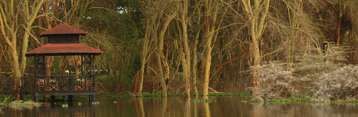
Between 2,500m and the lake level at 1,880m the greatest portion of the landscape is dominated by subsistence agriculture, common subsistence crops include potatoes, cabbage and maize, next to peas and beans. The sandy plains surrounding the lake host extensive greenhouses, strategically located around the sole plentiful permanent water source (the lake and associated groundwaters). Horticulture produces mainly flowers as well as a fruits and vegetables, mainly for European markets.
The basin has two towns: Naivasha and Gilgil, which function as large rural market places rather than as “urban centres” in their own right. Besides these, the countryside is interspersed with a multitude of small residential centres and tiny villages. The greatest density of people is found around the lake, and on the eastern and northern slopes above 2,000 m, mostly beside water courses.