Landscapes
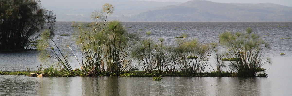
The landscapes of the Naivasha catchment are derived from its geological history, subsequently moulded by its human history. The very highest altitudes, only within the Aberdare National Park on the eastern side, are open moorland. Below this at around 3000m on both east and west sides of the catchment are forest zones, now mostly cleared and settled except within the National Park and Forest Reserves. At the bottom of the forest is a bamboo zone, now almost completely lost. Below the bamboo, at lower altitudes down to approximately 2000m the forest gave way to mixed grassland and trees which was the focus of colonial settlement and is now intensively farmed by small holdings. The lowest altitude landscapes towards the lake edge are more semi arid with a few large colonial style ranches, but mostly small holding, precariously depending upon regular rainfall. The landscape of the Lake Naivasha riparian zone dramatically changes at the highest historical lake level when the acacia woodland starts and the landscape of much of the riparian zone is woodland interspersed with horticultural greenhouses then giving way to grassland and papyrus at the edge of the lake.